A five-day ground-truthing drive ordered by the National Green Tribunal has turned up buildings, eateries and even plotting markers inside the Kaliasot catchment.
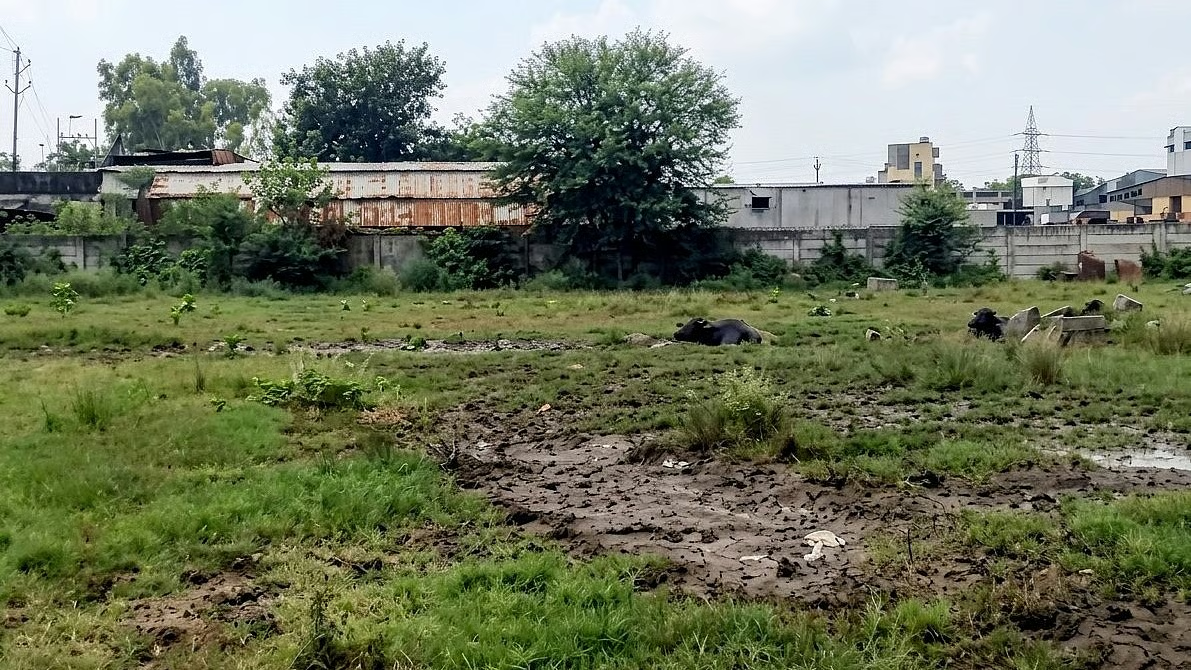
Five days into a court-mandated hunt for Bhopal's real lake boundaries, the picture at Kaliasot isn't pretty. A road cuts straight through the catchment zone. Restaurants and other commercial structures sit inside or right up against the water-spread area. And someone's been planting boundary markers for what looks like land plotting along the banks.
This is the special team constituted by the National Green Tribunal, out since morning checking whether the Bhoj Wetland's Full Tank Level, or FTL, actually matches what's on paper. The exercise started around 11 am near WALMI, comparing old FTL markers against current water levels, with officials from the Water Resources Department verifying stone positions alongside them.
At Khudaganj village in Ward 26, the water itself told the story. It was found extending past several existing FTL markers, meaning the lake has already outgrown its official line on the map in places, or the line was drawn wrong to begin with.
The restaurants and structures near the water-spread zone have been logged and will be checked against government records, so this isn't the tribunal's final word on what's illegal and what isn't. It's evidence-gathering. But the markers going up for plotting are the part that's raised real alarm among the survey team, since fresh construction along a floodplain tends to mess with natural drainage long before anyone notices.
Petitioner Rashid Noor Khan, who's been pushing for this ground-truthing, put it plainly: the point of the whole exercise is to pin down old markers, real water levels and natural flow patterns scientifically and legally, so nobody can hide behind technical loopholes later.
Not every site could be checked. Kerwa Dam is still sitting below its FTL, so the team skipped it for now. Ongoing bridge construction there has kept water flowing out continuously, which officials say makes it impossible to verify the boundary with any confidence at the moment.
MP Pollution Control Board's regional officer Nitesh Chaurasia confirmed the Kaliasot leg is done, with whatever comes next at Kerwa depending entirely on what the NGT orders.
That order should arrive soon enough. A report covering Kerwa's FTL and the technical questions around it goes to the tribunal on September 15, and the rest of the survey moves ahead only after the NGT reads it and decides what happens next.


Be the first to comment
Join the argument. No password, just your email or a passkey.