With only four days left, the state has logged 95.4% of its seasonal average, but many districts, especially in Indore, lag behind.
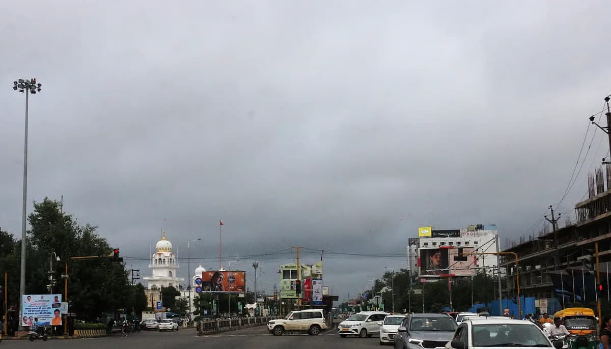
Madhya Pradesh has amassed roughly 35.6 inches of rain so far this monsoon, putting the state at 95.4% of its seasonal average. The India Meteorological Department (IMD) says the monsoon window will shut on September 30, leaving just four days for any major boost.
Rainfall tally across districts
According to the Free Press Journal, 25 districts have already crossed the 100% mark of their expected rainfall. Names like Bhopal, Gwalior, Katni and Mandla sit comfortably above the target. A handful of districts – Narsinghpur, Balaghat, Dindori and a few others – sit in the 90‑99% bracket, flirting with the norm but not quite there.
The real story, however, lies in the lagging zones. The Indore division, home to the state’s commercial hub, is among the worst‑hit. Alirajpur, for instance, has recorded less than 20 inches, a stark contrast to the roughly 50 inches logged in Mauganj, Satna and Umaria, the three districts that topped the rainfall chart.
IMD data suggests that about half of Madhya Pradesh’s districts may finish the season below their allotted quota. Seven districts hover just shy of the target, sitting between 90% and 99% of the seasonal norm. The rest, especially in the central and western belt, risk ending the monsoon short of expectations.
Reservoirs swell as rains recede
Heavy September showers have done a service to the state’s water storage. The Upper Lake in Bhopal hit its full‑tank level, prompting officials to open the gates of the Bhadbhada and Kaliyasot dams. Similar moves were reported at the Bargi, Bansagar and Gopikrishna reservoirs, all of which now sit near capacity.
Across the state, major dams such as Indira Sagar, Gandhi Sagar, Barna and Mahan have crossed the 90% threshold. The gates of the Bargi Dam in Jabalpur were swung open on Saturday after water levels surged.
While October rains could still trickle in, the IMD notes that any post‑monsoon precipitation won’t count toward the official seasonal totals. That means the current figures are likely to hold, and the shortfall in several districts may linger.
What this means for farmers and planners
For the agrarian heartland, the numbers translate into a mixed bag. Areas that have already hit or exceeded their rainfall target can look forward to better crop yields and replenished groundwater. Conversely, districts still chasing the 100% mark may face water stress, especially if October showers remain light.
State officials have hinted at contingency measures, including targeted water releases from the newly full reservoirs to irrigated zones. The hope is to cushion the impact in districts that fell short, while also managing the risk of sudden releases.
The monsoon’s final act is set to play out over the next few days. With the clock ticking, the coming weekend will reveal whether the remaining districts can inch closer to their targets or if the shortfall will become a lasting statistic for the season.
Looking ahead – the IMD will release its final monsoon assessment after September 30. Farmers, policymakers and water managers will be watching those numbers closely, as they will shape the next round of agricultural planning and reservoir operations in the state.


Be the first to comment
Join the argument. No password, just your email or a passkey.